Home | Print | Comments? |
Search: Go

Home>Our Work>Conservation / Stewardship>Volunteer Stream Monitoring>South Branch BR T1

Black River Watershed - South Branch T1

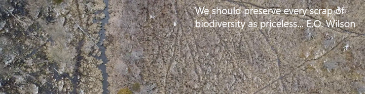
Watershed: Black River

Site: South Branch, VBC-T1

Location: 42.37458, -86.2078

MiCorp Total Score, Date Range: 2015 - 2021 (spring)

  • Mean= 27.3 - Fair Ranking
  • Minimum= 21.5
  • Maximum= 35.0
MiCorp Data Summary
Date Poor <19 Fair 19-33 Good 34-48 Excellent >48
2015-10-04 35.0
2016-05-01 21.5
2016-10-02 23.6
2017-05-07
2017-10-01 34.9
2018-05-06 29.5
2018-09-30
2020-10-04
2021-05-02 25.3
2021-10-08
2022-05-01
2022-10-02

Notes:

This page last updated on 3/4/2023.
 

Thank you for visiting and we hope to see you soon!