Home | Print | Comments? |
Search: Go

Home>Our Work>Conservation / Stewardship>Volunteer Stream Monitoring>Brandywine Creek T5SB

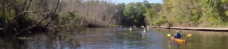
Paw Paw River Watershed - Brandywine Creek T5SB

Watershed: Paw Paw River

Site: Brandywine Creek, VBC-T5-SB

Location: 42.28626, -85.91244

MiCorp Total Score, Date Range: 2015 - 2022 (fall)

  • Mean= 39.0 - Good Ranking
  • Minimum=31.1
  • Maximum= 47.7
MiCorp Data Summary
Date Poor <19 Fair 19-33 Good 34-48 Excellent >48
2015-10-04 34.9
2016-05-01 47.7
2016-10-02 38.5
2017-05-07 41.3
2017-10-01 46.2
2018-09-30 31.1
2022-10-02 33.6

Notes:

This page last updated on 3/4/2023.
 

Thank you for visiting and we hope to see you soon!