Welcome to Two Rivers Coalition
SPECIAL NOTICE:
NEW WEBSITE COMING SOON!
We are excited to share that Two Rivers Coalition’s website will be transitioning to a new website soon (next few months). This website will be taken down due to its age which was created in 2009. We hope to move everything (or as much as possible) over to the new site. The new site will be more modern, and we are looking forward to going live soon! Stop back often to see our new website!
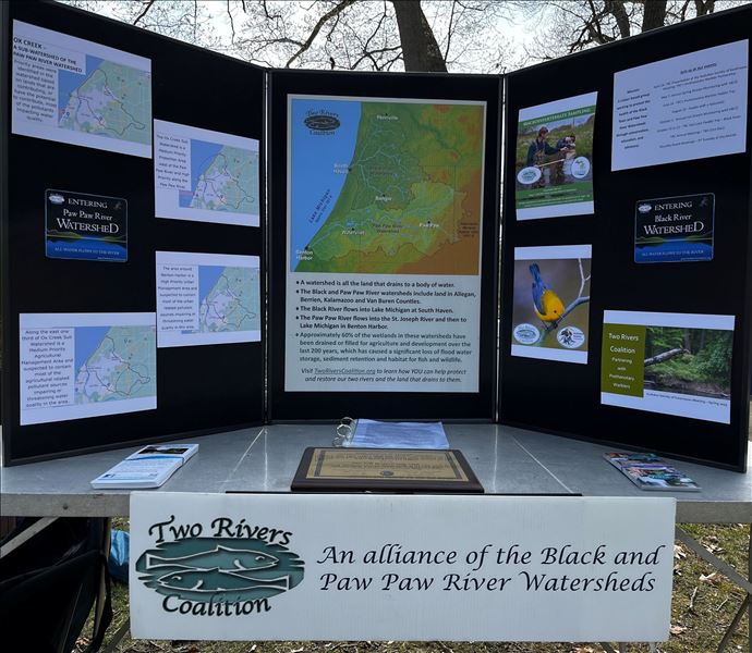
Explore and discover with us, the Black River and Paw Paw River Watersheds! Learn how you can help protect and improve these wonderful watershed resources.
We believe an informed and engaged community is key to protecting these watersheds, their biodiversity and their positive impacts to our quality of life in Southwest Michigan. Take some time and wander around our website and get to know the Black River and Paw Paw River watersheds and the work we are doing to conserve, educate and advocate for them.
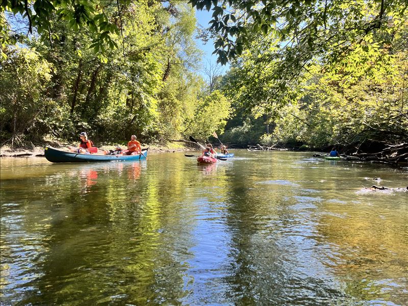
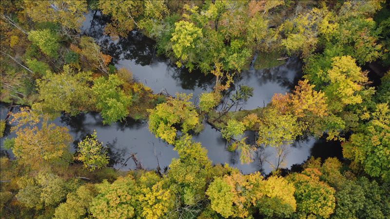
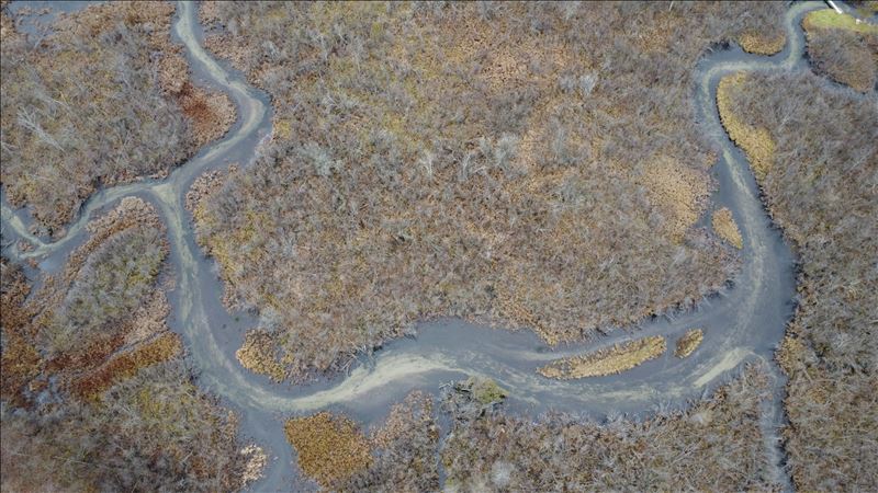
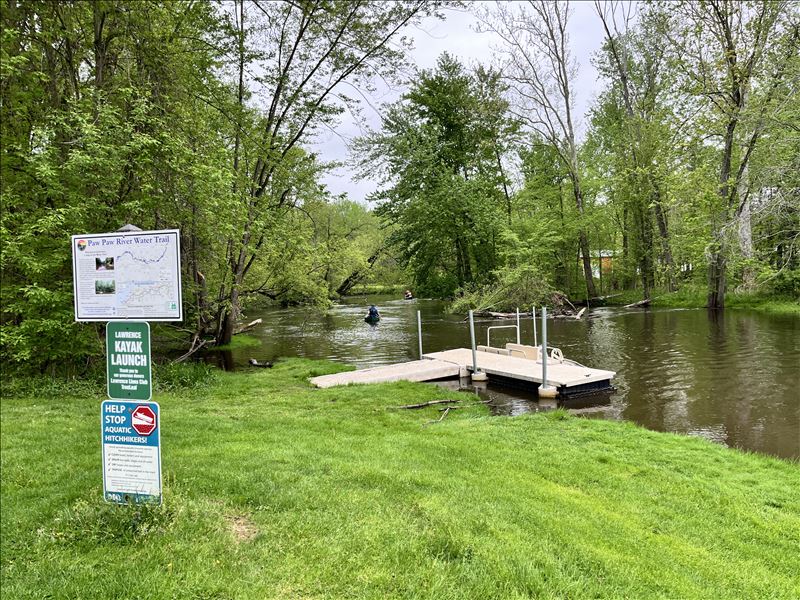
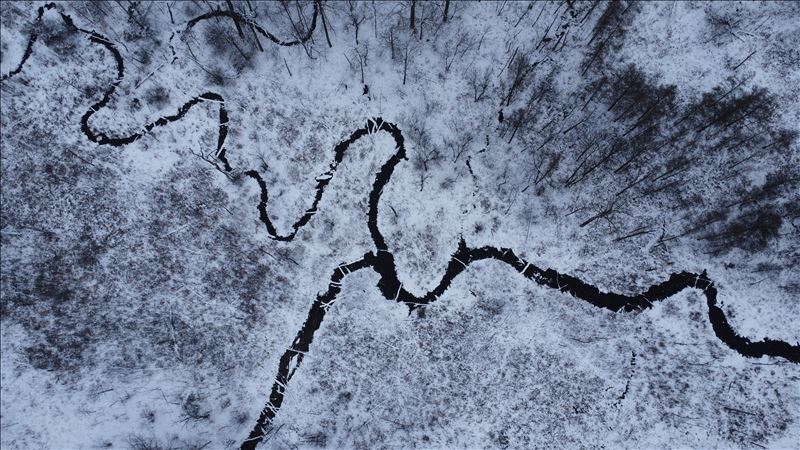
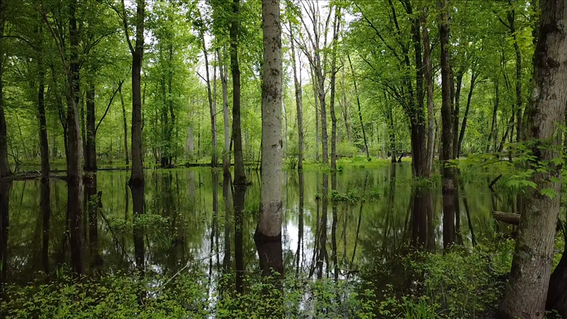
Enjoy this slideshow from the watersheds.
NEWS AROUND THE WATERSHEDS
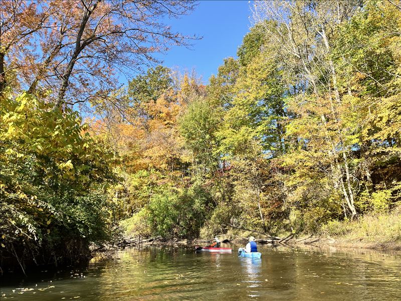
THE FALL COLOR PADDLE TRIP ON THE BLACK RIVER IS CANCELED DUE TO WEATHER.
After 5 years of good weather on our fall color paddle trip, our luck has run out. Sunday's forecast is for rain, mid 50s temperature and strong winds which make this trip more challenging. With that forecast, we have decided to cancel this year's paddle trip on the Black River. Sorry, but we will be back again next year!
Check out our blog about a recent big day on the Paw Paw River as a group of paddlers attempted to paddle from Paw Paw to Benton Harbor in a single paddle trip.
A Big Day on the Paw Paw River - 2025
2025 Paw Paw Middle School Salmon Release News Story: Video Link
SWMLC recently acquired a new property in Van Buren County that was previously owned by one of their founders, Gary Stock, who sadly passed away in 2023. Good Fire Woods is located within the Paw Paw River Watershed, which is known to be one of the most intact and diverse watersheds remaining in southern Michigan. It includes 175 miles of rivers and streams, 5,800 acres of lakes and ponds, and flows more than 60 miles from its headwaters in Kalamazoo County to its end in the St. Joseph River near Benton Harbor. This huge, important area drains, filters, and recharges groundwater from 445 square miles. Good Fire Woods includes more than 1.5 miles of stream frontage on the Paw Paw River’s East Branch and another coldwater stream that begins upstream in a privately-owned prairie fen wetland that’s protected by SWMLC with a conservation easement.
Learn More: Good Fire Woods | SWMLC
News Story: New nature preserve in Van Buren County aims to protect diverse ecosystem
Ox Creek Watershed Restoration Project:
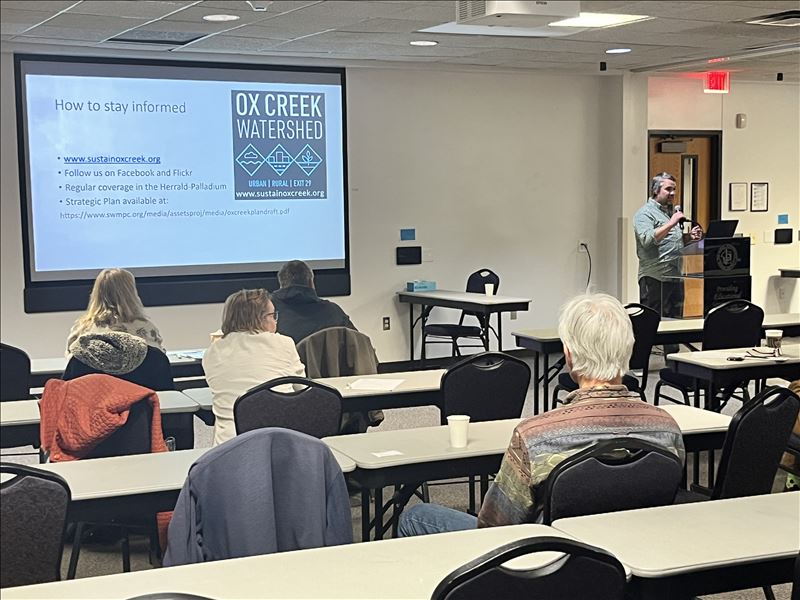
Check out the great work being done by SWMPC, Sarett and others near Benton Harbor to restore a degraded urban creek. Ox Creek is a sub watershed of the Paw Paw River that is at the confluence of the Paw Paw River and St. Joe River. Ox Creek empties into the Paw Paw River just upstream of the confluence of the Paw Paw and St Joe Rivers.
SWMPC | Ox Creek Watershed Project
Ox Creek Watershed (sustainoxcreek.org)
Ox Creek Sub Watershed (tworiverscoalition.org)
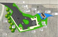
New Black River boat launch in the works at Pheonix Road: OPENED in 2024!
Impacts of new Indiana wetlands law on Saint Joseph River and local taxpayers: View Story
ST. JOSEPH COUNTY, Ind. -- New development could threaten Hoosier wetlands.
A new law that took effect Monday strips protections for Indiana wetlands by loosening regulations and opening up the opportunity for more development.
Critics call it a recipe for flooding because these wetlands are natural protections for communities downstream.
"The wetlands are sort of part of our river and part of our lakes, and without them, the river and the lakes don't look like we expect them to look like," says Matt Meersman, the Director of the Saint Joseph River Basin Commission.
Meersman says it's inevitable the Saint Joseph River and Lake Michigan will change in the coming years.
He says water quality will decrease and water flow will increase, all because House Bill 1838 went into effect Monday, bringing lasting effects on local bodies of water.
"The water and the land are connected in a way that most of us don't think about, and wetlands are the biggest example of confusion, we think of them as land, so most people ask 'Why can't we drain them and turn them into something else?'" explains Meersman.
The long-term loss of wetlands to development though, will leave communities like South Bend with more excess water.
 Two Rivers Coalition is in the Michigan Lakes and Streams Association's Riparian Magazine! Michigan Lakes & Streams Association, INC | preserving and protecting the waters of Michigan (mymlsa.org)
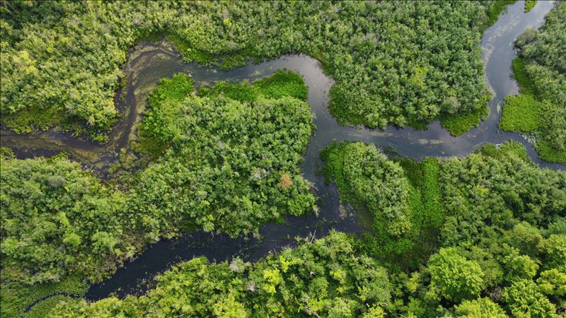
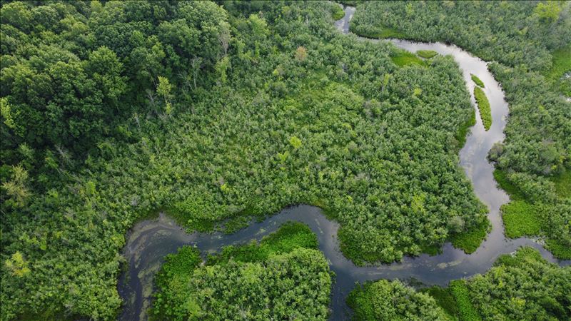
Rivers provide critical habitat for wildlife, connectivity to food sources, and refuge from the impacts of climate change. As we continue to learn about the intricacies of our water systems and how they support biodiversity, it becomes clear that river protection is wildlife protection.
Here we explore the connections between rivers and wildlife. We examine threats such as fragmentation, water overallocation, and the loss of ecosystem services. We present science-informed conservation recommendations for decision makers and citizens.
By better understanding the interdependency between rivers and wildlife, we can create effective river protection, restoration, and management plans that truly address the biodiversity crisis.
Click to explore more: (Wild)life depends on rivers (americanrivers.org)
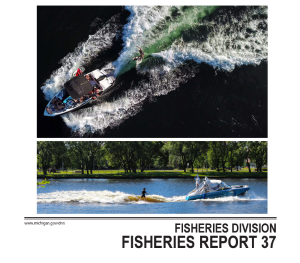
Check Out MLSA updated story on Wake Boats: MDNR Officially Releases Boat Wake Report: Fisheries Division, Report 37 is better than ever
The report concludes:
Wake boats provide a means of outdoor recreation, but the waves and propeller turbulence they generate can cause increased damage to aquatic environments through a number of mechanisms. The cumulative effects of these damages are expected to lead to loss of habitat and resulting declines in
aquatic ecosystems and angling opportunities. The recommendations below are intended to provide best operating practices under which the recreational opportunities that wake boats provide can be enjoyed in a manner that minimizes harm to the natural resources and property of Michigan citizens:
1. Boats operating in wake-surfing mode or wake-boarding mode, during which boat speed, wave shapers, and/or ballast are used to increase wave height, are recommended to operate at least 500 feet from docks or the shoreline, regardless of water depth.
2. Boats operating in wake-surfing or wake-boarding modes are recommended to operate in water at least 15 feet deep.
3. Ballast tanks should always be drained prior to transporting the watercraft over land.
It is recommended that awareness and voluntary adoption of these best operating practices be encouraged through outreach actions and materials to educate wake boat operators.
 Check out the slides and materials from the 62nd Annual MLSA Conference -
Protecting and Restoring Michigan's Lakes and Streams
Annual Conference 2023 | Michigan Lakes & Streams Association, INC (mymlsa.org)
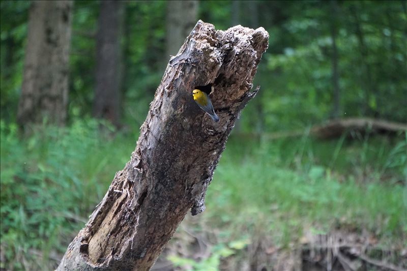
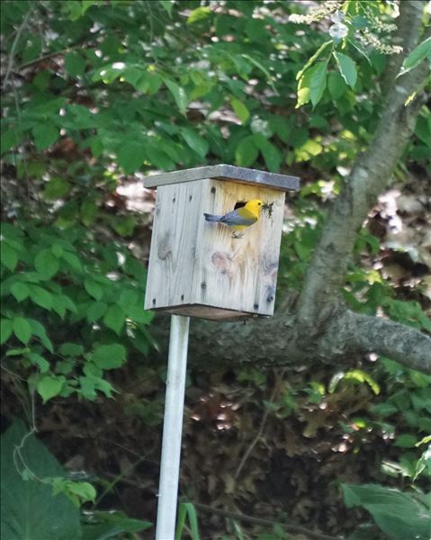
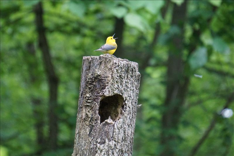
This includes TRC's Partnering with Prothonotary Warblers Presentation.
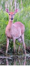 New state game area coming to Paw Paw River | News/Talk/Sports 94.9 WSJM
351 pristine acres in Waverly Township will be converted into a new state game area. The land is primarily forested wetland and provides habitat for deer, small game, and waterfowl. It has about 1.2 miles of frontage on the Paw Paw River, a fishery for smallmouth bass, walleye, northern pike, and seasonal runs of salmon and steelhead.
![]() The Southwest Michigan Planning Commission, Two Rivers Coalition, and the Berrien County Drain Commissioner collaborate to create environmental and water education initiatives to engage the community. Learn more about the importance of sustainability and protecting the waters in southwest Michigan.
The Southwest Michigan Planning Commission, Two Rivers Coalition, and the Berrien County Drain Commissioner collaborate to create environmental and water education initiatives to engage the community. Learn more about the importance of sustainability and protecting the waters in southwest Michigan.
Background: Michigan is the only state in the nation without uniform standards governing how onsite sewage treatment systems are designed, built, installed and maintained. Additionally, according to the Department of Environment, Great Lakes, and Energy (EGLE), Michigan has between 1.3 and 1.4 million onsite septic systems, and 35% of its residents rely on them; however, many of these systems are failing or inadequate due to the lack of a uniform statewide code. With no statutory way to define and alleviate failing septic systems in much of the state, these systems can lead to contaminated water seeping into nearby bodies of water, leading to increased levels of E. coli, other bacteria and algae blooms. This can cause illness if consumed or contacted, which can result in closures of lakes and beaches. The bills will establish state standards for septic systems, also known as “onsite wastewater treatment systems” and require regular inspections of those systems (with the inspection results maintained by EGLE) and establish a technical advisory commission within EGLE to advise the department, Legislature and local health departments on the most current scientific standards for septic tanks.

Part of Ox Creek Restoration:
Major grant funding Benton Harbor park revitalization (wndu.com)
Learn more at the Ox Creek and its restoration:
SWMPC | Ox Creek Watershed Project
Ox Creek Watershed (sustainoxcreek.org)
Ox Creek Sub Watershed (tworiverscoalition.org)
Concern about the impact of salting our roads has on environment:
Michigan brine brouhaha: Proposed limits for unpaved roads prompt dustup | Bridge Michigan
FLOW hosted a webinar on March 21, 2023, that offered legal, scientific, economic, and political perspectives on the urgent need and critical opportunity for Michigan to finally join the rest of the nation in adopting a state law to protect public health and fresh water from septic system pollution. Billions of gallons of poorly or untreated sewage flow each year into an estimated 330,000 failed septic systems. An unknown amount of that raw sewage ends up in lakes, streams, and groundwater, the source of drinking water for 45% of Michigan’s population.
FLOW | Public Trust Solutions for the Great Lakes (forloveofwater.org)
Septic Systems (tworiverscoalition.org)
E.coli Monitoring in the Black and Paw Paw River Watersheds (tworiverscoalition.org)
 Check out the Presentations from the 2023 Shoreline and Shallows Conference:
Learn how to be a good steward of the riparian areas on your property.
Also find more details in our Waterfront Wisdom page.
Texas Township Riparian Ordinance: February 2023
Follow and support the development of a riparian ordinance in Texas Township and the Headwaters of the East Branch of the Paw Paw River.
East Branch Sub Watershed (tworiverscoalition.org)
Riparian Ordinance Update | Texas Charter Township, MI (texastownship.org)
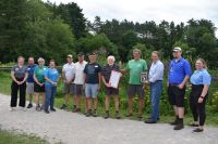 Two Rivers Coalition is Van Buren Conservation District's Conservationist of the Year 2022!!
Two Rivers Coalition is fortunate to have great partners to support us and that we can support to help make the Black River and Paw Paw River Watersheds great places to live and work. Thank You Van Buren County Conservation District!
Hayden Creek: November 2022
Work to remove dam.
Van Buren County Creek Among Waterways To Benefit From New Grant | News/Talk/Sports 94.9 WSJM








 From American Rivers: